


Section 1: The ancient origins of the Armenian people.
Overview: The Armenian Highlands have been inhabited by neolithic, chalcolithic, bronze age, and iron age tribes & civilizations for over 12,000 years since the establishment of the worlds oldest temple "Göbekli Tepe" (Portasar). These various ancients contributed to the formation of the Armenians as a distinct ethnic group.

Kura Araxes Culture:
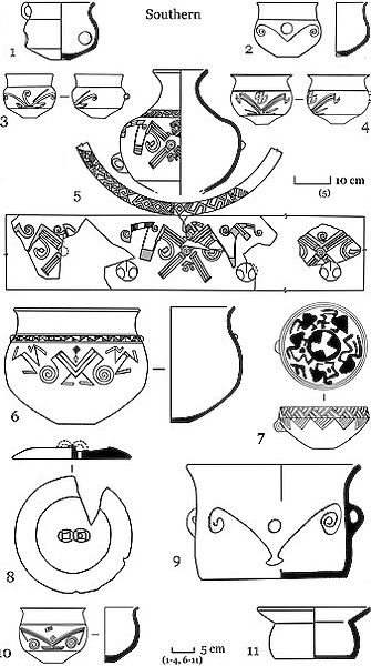
The Kura-Araxes culture was an indigenous Bronze Age culture that began in the South Caucasus, including areas of Armenia, modern-day Georgia, and modern-day Azerbaijan, and later spread into parts of eastern Anatolia, northwestern Iran, and the wider Near East. It is usually dated to around 3500–2500 BCE, though the exact timeline differs depending on the region. The culture is best known for its distinctive red and black burnished pottery, along with shared styles of settlement, architecture, farming, herding, and metalworking. In the Armenian Highlands, the Kura-Araxes culture is especially important because it shows how early Bronze Age communities were connected across a large mountainous region through trade, movement, and similar cultural traditions. However, it was not a single kingdom or empire, rather it was more of a widespread cultural tradition made up of many local communities that shared similar ways of life.


What is the link between modern day Armenians and the Kura Araxes culture (simplified)?
- The majority of men from the Kura-Araxes culture belonged to J-Z1842, which is a subclade of haplogroup J1. Approximately 16-20% of modern Armenian men belong to the J1 haplogroup.
- The majority of women from the Kura-Araxes culture belonged to haplogroup U (including U1a1a, U3a2, U3b1a1, U3b2) and haplogroup H (including H1u). Approximately 20% to 28% of the Armenian maternal gene pool belongs to haplogroup H and approximately 10% to 14% belong to haplogroup U.